水上物流產(chǎn)品分類
-
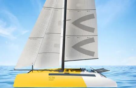
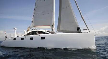
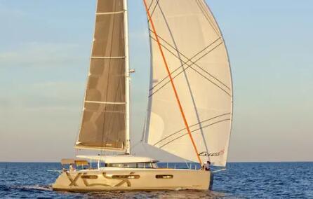
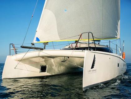
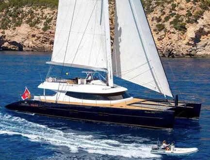
豪華私人船,多設(shè)施,,旅行探險(xiǎn)
更多產(chǎn)品-
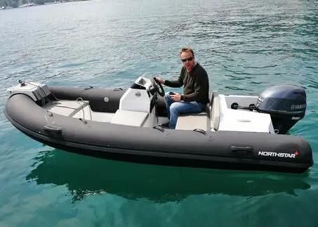
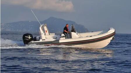
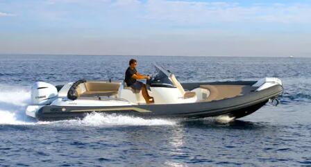
傳統(tǒng)型開放式運(yùn)動(dòng)噴氣推進(jìn)充氣艇(半硬式多用途游艇小舢板)

-
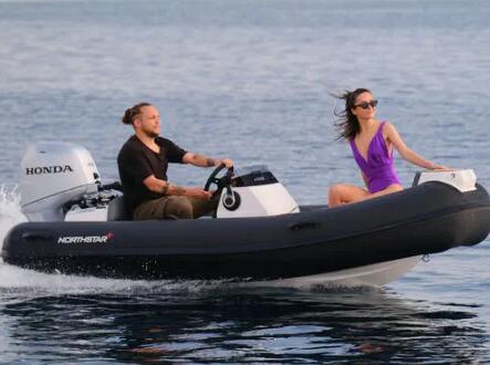
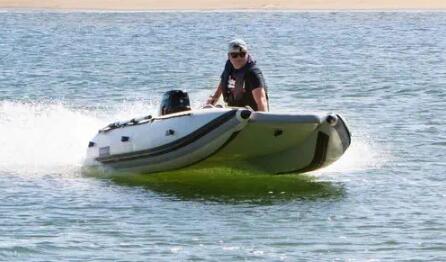
多用途半硬式運(yùn)動(dòng)噴氣推進(jìn)充氣艇(牽引式玻璃纖維游艇小舢板)

-
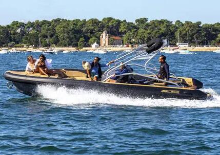
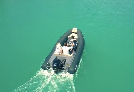
10人中央控制臺(tái)半硬式運(yùn)動(dòng)噴氣推進(jìn)充氣艇(牽引式性能高)
-
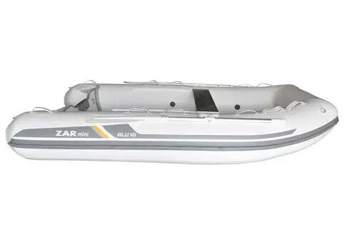
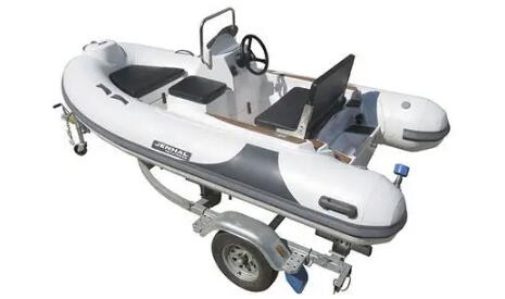
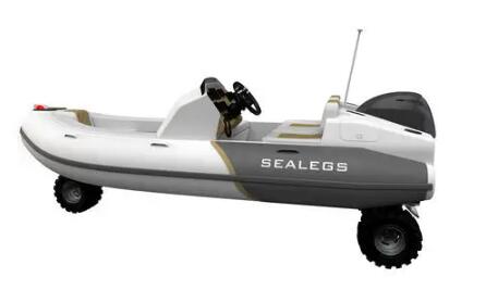
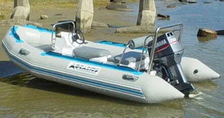
3米開放式鋁制剛性龍骨運(yùn)動(dòng)舷外充氣艇(安全舒適可折疊)
-
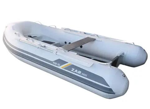
3米開放式RIB鋁制運(yùn)動(dòng)舷外充氣艇(游艇小舢板耐用性高)
-
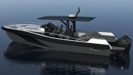
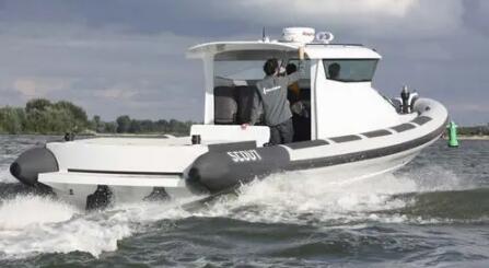
12米半定制高性能汽油雙引擎舷內(nèi)快艇(硬頂柚木甲板舷外追擊艇)
-
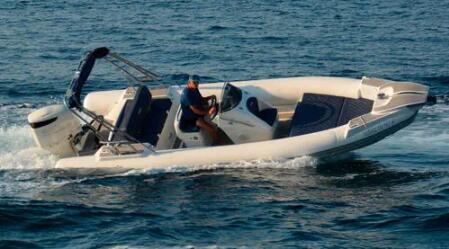
6人開放式側(cè)邊控制臺(tái)玻璃纖維RIB舷外充氣艇(柚木甲板)
-
5人半硬式游艇小舢板舷外充氣艇(開放式側(cè)邊控制臺(tái))
-
14人多功能開放式側(cè)邊控制臺(tái)舷外充氣艇(半硬式玻璃纖維)
-
傳統(tǒng)型開放式運(yùn)動(dòng)噴氣推進(jìn)充氣艇(半硬式多用途游艇小舢板)
-
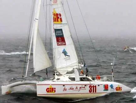
快速水上運(yùn)動(dòng)艇,,多用途
-
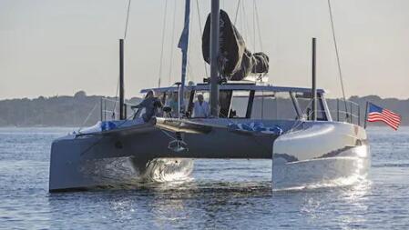
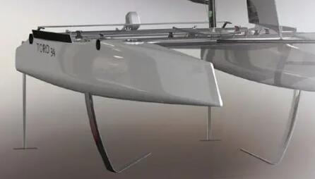
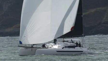
利用風(fēng)力的船,多種用途
-
設(shè)備多樣,,功能全面
-
多樣刺激,,樂趣無限
-
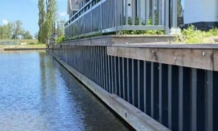
船只停靠的場所,,設(shè)施齊備


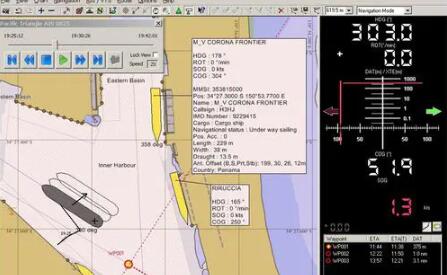
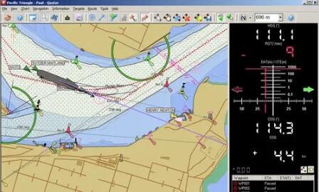
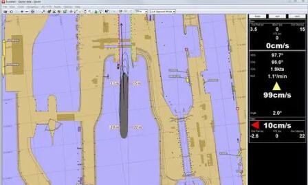
散貨運(yùn)輸船導(dǎo)航軟件(專業(yè)用途船報(bào)警系統(tǒng))
產(chǎn)品圖片
 |
 |
重要參數(shù)
| 類型 | 導(dǎo)航, 分析, 記錄, AIS, 領(lǐng)航員航海水平測試 |
| 應(yīng)用領(lǐng)域 | 散貨運(yùn)輸船, 專業(yè)用途船, 用于港口, 近海平臺(tái) |
| 其他特性 | 用于平板電腦, 用于報(bào)警系統(tǒng) |
產(chǎn)品簡介QPS(Quality Positioning Services BV)的Qastor是一款功能強(qiáng)大的電子海圖系統(tǒng),,為飛行員提供易于使用和易于理解的信息。 自2000年以來,,QPS一直在為航海飛行員開發(fā)便攜式電子海圖和導(dǎo)航系統(tǒng),。Qastor 是作為標(biāo)準(zhǔn)軟件許可證提供的,并有多個(gè)附加模塊,,以滿足端口和飛行員的個(gè)性化需求,。目前,該軟件被授權(quán)給一個(gè)物理加密狗 - 可用的選項(xiàng)是USB或Express Card/34,。 Qastor(2.50版本)提供了綜合語音記錄功能。這對(duì)于分析航行或培訓(xùn)是非常實(shí)用的,。對(duì)于松下CF-19的用戶,,或者其他沒有集成麥克風(fēng)的機(jī)器,需要插入麥克風(fēng)或者使用藍(lán)牙麥克風(fēng),。 標(biāo)準(zhǔn)的Qastor許可證是用于導(dǎo)航模式的,,其中包含以下功能: 探測和避免危險(xiǎn) 加強(qiáng)路線規(guī)劃和核查 動(dòng)態(tài)龍骨下間隙 在狹窄水域精確航行 實(shí)時(shí)降潮 掃蕩路徑船只預(yù)測 AIS集成和目標(biāo)查看器,具有高級(jí)CPA功能,。 錄制和重播 DXF覆蓋 S-57 ENCs,、ARCS或 "C-Map Professional "海圖 互動(dòng)式潮汐高度 創(chuàng)建路線 監(jiān)測轉(zhuǎn)彎的曲線路徑預(yù)測 手動(dòng)關(guān)閉距離 全面顯示所有的AIS數(shù)據(jù),可以是綜合AIS數(shù)據(jù),,也可以是Pilot Plug數(shù)據(jù),。 用于快速識(shí)別船舶數(shù)據(jù)的AIS數(shù)據(jù)庫。 預(yù)測CPA并計(jì)算AIS目標(biāo)的會(huì)合點(diǎn),,包括視線或沿線,。 全程錄音和重播 英文介紹Qastor, by QPS (Quality Positioning Services BV), is a powerful electronic charting system that gives pilots easy-to-use and easy-to-understand information. QPS has been developing portable electronic charting and navigation systems for the marine pilot since 2000.Qastor is offered as a standard software licence with several add-on modules to suit the individual needs of ports and pilots. Currently the software is licensed to a physical dongle - available options are USB or Express Card/34. Integrated voice recording is available in Qastor (2.50 version). This can be very practical for analysis of the voyage or training. For users of Panasonic CF-19s, or other machines that do not have an integrated microphone, it is necessary to either plug in a microphone or to use a Bluetooth microphone. The standard Qastor licence is for Navigation Mode, which contains features such as: Danger detection and avoidance Enhanced route planning and verification Dynamic under keel clearance Accurate navigation in confined waters Real-time tide reduction Swept path vessel prediction AIS integration and target viewer with advanced CPA functions Recording and replay DXF overlay S-57 ENCs, ARCS or 'C-Map Professional' charts Interactive Height of Tide Route creation Curved path prediction for monitoring turns Manual distance-off Full display of all AIS data, either from integrated AIS or from Pilot Plug AIS Database for speedy recognition of vessel data Predict CPAs and calculate meeting points of AIS target, both Line-Of-Sight or Along Route Full recording and replay |
| 上一篇:航海管理軟件(港口監(jiān)控軟件) | 下一篇:海港用船隊(duì)管理軟件 |
推薦信息
| 高質(zhì)量重型側(cè)卸車(側(cè)移式升降機(jī)) |
2023-10-17
|
查看詳情 >> |
| 船用搬運(yùn)千斤頂(微型電動(dòng)履帶運(yùn)輸車) |
2023-11-25
|
查看詳情 >> |
| 水產(chǎn)養(yǎng)殖下錨 |
2023-12-12
|
查看詳情 >> |
| 高密度的漂浮式模塊 |
2024-01-23
|
查看詳情 >> |
| 電動(dòng)船塢牽引拖車 |
2023-11-02
|
查看詳情 >> |
最新發(fā)布